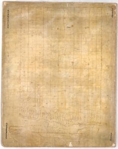
Cumberland 1820
This is the first survey map of Cumberland Township that was given to Duncan MacDonnell in 1820 in order for him to complete the survey of the rest of the Township. The survey along the river had been completed earlier and is still referred to as the Old Survey. This map indicates the Crown patents to individuals who never came to Cumberland Township. It does not indicate any of the early settlers that were actually there, except for Walter Beckworth who had acquired some of the frontage properties and was harvesting trees at that time. Note that there is no detail with regards to the interior of the township.
Click on image to view


